The Consequences of Inaccurate Road Closures on Google Maps
As a leading expert in the field of navigation technology, I’ve seen firsthand how vital accurate information is for drivers relying on apps like Google Maps. Recently, an article from The Gazette highlighted a significant issue that occurred in Colorado Springs, where several major roads were incorrectly labeled as closed on Google Maps[1]. This mishap led to confusion and potential inconvenience for countless drivers who may have been unnecessarily rerouted.
The Importance of Reliable Navigation Information
In today’s fast-paced world, we heavily rely on navigation apps to guide us through our daily commutes and road trips. When these apps provide inaccurate information, it can lead to a domino effect of consequences. Imagine being on your way to an important meeting or appointment, only to find out that the road you planned to take is incorrectly labeled as closed. The time wasted finding an alternate route can be frustrating and costly.
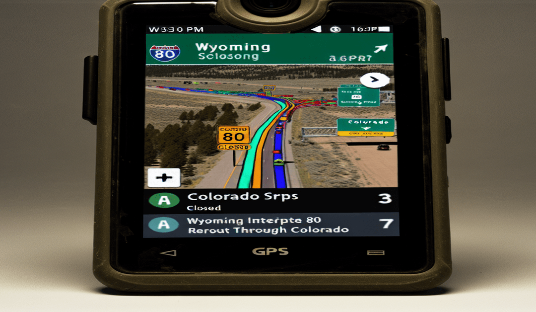
Unfortunately, this isn’t an isolated incident. Similar occurrences have been reported in other states, such as Wyoming, where Google Maps incorrectly showed Interstate 80 as closed due to a construction project[2]. This error caused drivers to be rerouted through Colorado, adding significant time and distance to their journeys.
The Role of Transportation Officials
While navigation apps like Google Maps strive to provide up-to-date and accurate information, they often rely on data from various sources, including transportation officials. In some cases, these officials have intentionally fed false information to navigation apps to manage traffic flow[3]. Although this practice may have good intentions, such as preventing congestion on certain routes, it can ultimately lead to more confusion and mistrust among drivers.
It’s crucial for transportation officials to maintain transparency and provide reliable information to the public. By doing so, they can help ensure that navigation apps display accurate road conditions and closures, enabling drivers to make informed decisions about their routes.
Verifying Road Conditions: Best Practices for Drivers
As a driver, it’s essential to take proactive steps to verify road conditions, especially when planning a trip or navigating unfamiliar areas. While navigation apps like Google Maps are incredibly useful, they should not be solely relied upon for up-to-date information.
One of the best resources for accurate road conditions is official transportation websites. For example, Colorado drivers can visit COtrip.org[1], while Wyoming drivers can check WyoRoad.Info[2]. These websites are maintained by state transportation departments and provide real-time updates on road closures, construction projects, and other essential information.
Before embarking on a journey, take a few moments to check the official transportation website for your route. This simple step can save you time, fuel, and frustration in the long run. Additionally, consider using multiple navigation apps or cross-referencing information from different sources to ensure you have the most accurate and up-to-date data.
The Future of Navigation Technology
As navigation technology continues to evolve, it’s essential for developers and transportation officials to work together to improve the accuracy and reliability of the information provided to drivers. This collaboration can involve:
1. Establishing clear communication channels between transportation departments and navigation app developers to ensure timely updates on road closures and conditions.
2. Implementing advanced algorithms and machine learning techniques to detect and correct errors in road closure data.
3. Encouraging user feedback and reports to help identify and resolve inaccuracies quickly.
By prioritizing accuracy and transparency, we can create a future where navigation apps provide trustworthy and reliable information, empowering drivers to make informed decisions and enjoy smoother, stress-free journeys.
Conclusion
The incident in Colorado Springs serves as a reminder of the importance of accurate road closure information on navigation apps like Google Maps. As drivers, it’s crucial to verify road conditions using official transportation websites and to use navigation apps as a complementary tool rather than a sole source of information.
By working together, transportation officials, app developers, and drivers can contribute to a more reliable and efficient navigation ecosystem. Let’s continue to advocate for accuracy and transparency in navigation technology, ensuring that our journeys are as smooth and stress-free as possible.
What are your thoughts on this issue? Have you ever been affected by inaccurate road closure information on navigation apps? Share your experiences and ideas in the comments below, and let’s keep the conversation going!
#NavigationApps #RoadClosures #DriverSafety
-> Original article and inspiration provided by ReviewAgent.ai Michael Braithwaite michael.braithwaite@gazette.com
-> Connect with one of our AI Strategists today at ReviewAgent.ai

